December 27, 2025
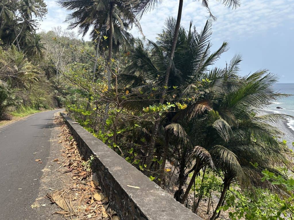
This north São Tomé travel guide covers the island’s northern and north-western coastline, starting just beyond the capital and following the coastal road through working towns, open shoreline, and exposed Atlantic headlands. The north is not remote and it is not a curated destination zone. It is a lived coastal corridor where daily life, fishing, fuel infrastructure, and travel all occupy the same narrow strip of land.
Parts of the north-eastern coast support savanna-type vegetation rather than dense rainforest. This is most visible around Praia das Conchas and Lagoa Azul, where grasses and scattered trees replace the closed canopy found further south and inland. Baobab trees are a defining feature here, particularly around Lagoa Azul, and immediately distinguish the area from the forested interior that dominates much of the island.
Historically, this coastline is where São Tomé’s human history begins, with early Portuguese landfall associated with the region and later development of large plantation estates. Today, it remains economically important. It includes a working port town, long-established fishing communities operating directly from the shore, and fuel and gas storage terminals that are critical to island supply. The north is not scenery separated from reality. It is part of how the island functions, and this guide treats it that way.
If you want a trip here, check out or tours, or explore the South with our car hire.
Lagoa Azul is a small bay on the north-eastern coast near Guadalupe. It is known for clear blue water and is one of the island’s easiest places for a quick swim. Low rock formations partly close the bay off from the open sea, which helps keep the water calmer and gives it that bright colour on still days. A lighthouse sits on the headland above, built in the late 1990s.
There is no sandy beach here. You get in over rock, not through soft shoreline. Baobab trees edge the bay, their heavy trunks and bare, angular branches giving the place a stark look that feels completely different from the rainforest interior. In a north São Tomé travel guide, Lagoa Azul earns its place because it is straightforward, right by the road, and clearly part of everyday island life rather than something staged for visitors.
Praia das Conchas lies along the same north-eastern coastal zone and reflects the savanna-influenced landscape of this part of the island. The beach opens onto the Atlantic with lighter sand and a broader feel than the rocky coves nearby. It is a working stretch of coast rather than a managed beach, and local use is part of its character.
Vegetation here is open rather than forested. Grasses and scattered growth replace dense canopy, reinforcing the exposed feel that defines the north-east.

Neves sits on the north-west coast and is the largest town in this part of the island. It is the administrative centre of the Lembá district and a formally recognised port town. Fishing is central to its identity, with boats operating directly from the shore. Neves also hosts fuel and gas storage terminals that are essential to São Tomé’s energy supply. Do not assume the route through Neves is an industrial road, it is seaside and dramatic all the way.
The town does not present itself as a visitor centre. The road runs along the water’s edge, and daily activity is visible throughout. Neves is also locally known for santola, the large spider crab taken from offshore waters and prepared in simple restaurants. Including Neves in a northern route provides context and shows how the island operates beyond beaches and viewpoints.
The best restaurant is Santola, reached by a right-hand fork as you enter Neves, heading towards the beach. The restaurant is unmissable, on the right just before a very relaxed beach bar with a patio. The setting is rustic, the food is spectacular. You are handed a large crab and a mallet and get to work. Staff are there to help if you need.

Beyond Neves, the coastline becomes more exposed and rugged. The road passes through the Santa Catarina Tunnel, the only road tunnel on São Tomé, cut directly through volcanic rock to allow the coastal route to continue. Emerging on the far side, the coast feels harsher and more open to the Atlantic. Along this stretch, you will see local children who gather here to sell cocoa and fruit to tourists. Do not be alarmed if they approach your car holding a machete. However, do not buy during school hours, as it encourages them to miss school.
Santa Catarina sits at the practical end of the road. Beyond this point, cliffs and terrain prevent further coastal travel by vehicle. The village marks a physical limit rather than a destination, underlining how geography shapes movement on the island. The road ends at a ruined bridge with a steep incline down to the water, and the children will invariably be swimming below.

Following this north São Tomé travel guide route works best as a long, unhurried day. Starting from the capital, the road leads through Guadalupe, branches to Lagoa Azul, continues past Praia das Conchas, and carries on west to Neves and Santa Catarina. Distances are short, but progress is shaped by road conditions and village traffic.
The most effective approach is to choose one or two water stops and allow time for swimming and observation. The value of the north lies in its transitions: forest giving way to open coastal land, sheltered bays opening into exposed Atlantic shoreline, and small settlements leading into a working port town.
Along the northern coast, Morro Peixe is associated with marine turtle conservation coordinated by Programa Tatô. The village hosts a small marine interpretation centre, often referred to as Casa Tatô or the Museu do Mar, linked to education and conservation activity. Guided turtle watching operates seasonally as part of this work.
This North São Tomé travel guide is not about collecting attractions. It is about understanding a working coastline where history, infrastructure, and daily life are fully visible. Savanna-type landscapes around Lagoa Azul and Praia das Conchas, the port town of Neves with its fishing boats and fuel terminals, and the hard edge of the road at Santa Catarina together show how the island functions beyond its rainforest interior. Taken at a steady pace, the north offers clarity rather than spectacle, and context rather than escape.
Need Advice?